Hill Farm and Penyard Park
Introduction
The photograph on this page of Hill Farm and Penyard Park by John Winder as part of the Geograph project.
The Geograph project started in 2005 with the aim of publishing, organising and preserving representative images for every square kilometre of Great Britain, Ireland and the Isle of Man.

There are currently over 7.5m images from over 14,400 individuals and you can help contribute to the project by visiting https://www.geograph.org.uk
Hill Farm and Penyard Park
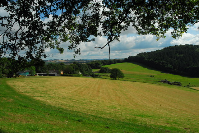
Image: © John Winder Taken: 27 Jul 2014
Here's a shot of Hill Farm (on the left), taken from the Wye Valley Walk. Penyard Park is the forested area in the right background.
Images are licensed for reuse under creativecommons.org/licenses/by-sa/2.0
Image Location
Latitude
51.90251
Longitude
-2.57596