Millar's Court viewed from the B180
Introduction
The photograph on this page of Millar's Court viewed from the B180 by Eric Jones as part of the Geograph project.
The Geograph project started in 2005 with the aim of publishing, organising and preserving representative images for every square kilometre of Great Britain, Ireland and the Isle of Man.

There are currently over 7.5m images from over 14,400 individuals and you can help contribute to the project by visiting https://www.geograph.org.uk
Millar's Court viewed from the B180
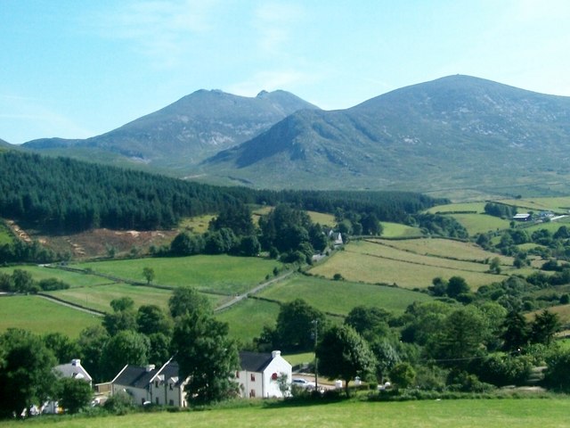
Image: © Eric Jones Taken: 25 Jul 2014
The forest in the middle ground is the Clonachuillion Wood, while the peaks in the background are Slieve Bearnagh and Slieve Meelmore.
Images are licensed for reuse under creativecommons.org/licenses/by-sa/2.0
Image Location
Latitude
54.219075
Longitude
-5.990445