Twelve Acres
Introduction
The photograph on this page of Twelve Acres by Simon Carey as part of the Geograph project.
The Geograph project started in 2005 with the aim of publishing, organising and preserving representative images for every square kilometre of Great Britain, Ireland and the Isle of Man.

There are currently over 7.5m images from over 14,400 individuals and you can help contribute to the project by visiting https://www.geograph.org.uk
Twelve Acres
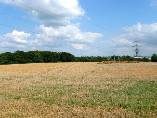
Image: © Simon Carey Taken: 22 Jul 2014
The name of the field according to Hurstpierpoint's 1842 tithe map that is bounded by the A2300 to the south, Image to the west and St Paul's Catholic School to the east. This is the southern end of the field see also Image
Images are licensed for reuse under creativecommons.org/licenses/by-sa/2.0
Image Location
Latitude
50.968215
Longitude
-0.157947