Junction of Marl Lane and Pentywyn Road
Introduction
The photograph on this page of Junction of Marl Lane and Pentywyn Road by Gerald England as part of the Geograph project.
The Geograph project started in 2005 with the aim of publishing, organising and preserving representative images for every square kilometre of Great Britain, Ireland and the Isle of Man.

There are currently over 7.5m images from over 14,400 individuals and you can help contribute to the project by visiting https://www.geograph.org.uk
Junction of Marl Lane and Pentywyn Road
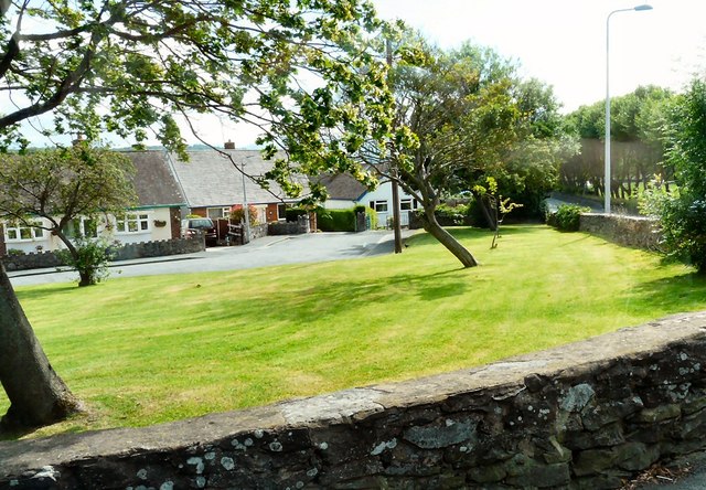
Image: © Gerald England Taken: 10 Jul 2014
The bungalows are off Albert Drive. The shape of the trees indicates the direction of the prevailing winds.
Images are licensed for reuse under creativecommons.org/licenses/by-sa/2.0
Image Location
Latitude
53.294909
Longitude
-3.816888