Holtspur: Heath Road
Introduction
The photograph on this page of Holtspur: Heath Road by Nigel Cox as part of the Geograph project.
The Geograph project started in 2005 with the aim of publishing, organising and preserving representative images for every square kilometre of Great Britain, Ireland and the Isle of Man.

There are currently over 7.5m images from over 14,400 individuals and you can help contribute to the project by visiting https://www.geograph.org.uk
Holtspur: Heath Road
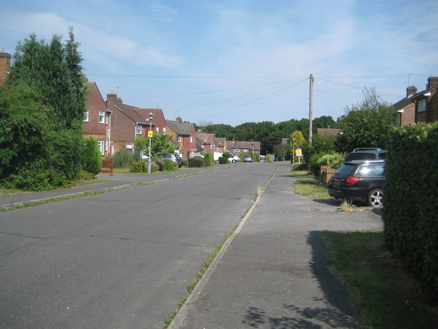
Image: © Nigel Cox Taken: 26 Jul 2014
The town of Beaconsfield expanded greatly after the Second World War, and, to the west, swallowed up the hamlet of Holtspur. Heath Road is one of the western extremities of that expansion. The tops of the trees in Cut-throat Wood can be glimpsed over the roofs of the houses in the distance.
Images are licensed for reuse under creativecommons.org/licenses/by-sa/2.0
Image Location
Latitude
51.601982
Longitude
-0.67448