Looking towards Meikle Cairnhill
Introduction
The photograph on this page of Looking towards Meikle Cairnhill by Anne Burgess as part of the Geograph project.
The Geograph project started in 2005 with the aim of publishing, organising and preserving representative images for every square kilometre of Great Britain, Ireland and the Isle of Man.

There are currently over 7.5m images from over 14,400 individuals and you can help contribute to the project by visiting https://www.geograph.org.uk
Looking towards Meikle Cairnhill
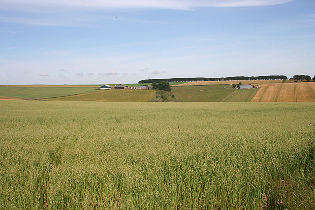
Image: © Anne Burgess Taken: 22 Jul 2014
Meikle Cairnhill, on the left, and North Everton, on the right, are in the next square, but the foreground field with its crop of oats is in this square.
Images are licensed for reuse under creativecommons.org/licenses/by-sa/2.0
Image Location
Latitude
57.560914
Longitude
-2.357316