A9 dual carriageway, Etteridge
Introduction
The photograph on this page of A9 dual carriageway, Etteridge by Richard Webb as part of the Geograph project.
The Geograph project started in 2005 with the aim of publishing, organising and preserving representative images for every square kilometre of Great Britain, Ireland and the Isle of Man.

There are currently over 7.5m images from over 14,400 individuals and you can help contribute to the project by visiting https://www.geograph.org.uk
A9 dual carriageway, Etteridge
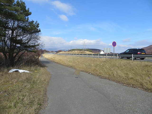
Image: © Richard Webb Taken: 2 Apr 2014
The recent extension of the short stretch of dual carriageway in Glen Truim has all but blocked through access to the Wade Road for equestrian users and was the cause of a vigorous but unsuccessful campaign to place a crossing here. You can however manhandle a bike over the Armco. A stretch of older road provides a cycle and footpath towards Newtonmore. The Wade Road on the eastern side, past Phones http://www.geograph.org.uk/photo/658555 is well worth seeking out.
Images are licensed for reuse under creativecommons.org/licenses/by-sa/2.0
Image Location
Latitude
57.006544
Longitude
-4.168321