Cairnhill Croft
Introduction
The photograph on this page of Cairnhill Croft by Anne Burgess as part of the Geograph project.
The Geograph project started in 2005 with the aim of publishing, organising and preserving representative images for every square kilometre of Great Britain, Ireland and the Isle of Man.

There are currently over 7.5m images from over 14,400 individuals and you can help contribute to the project by visiting https://www.geograph.org.uk
Cairnhill Croft
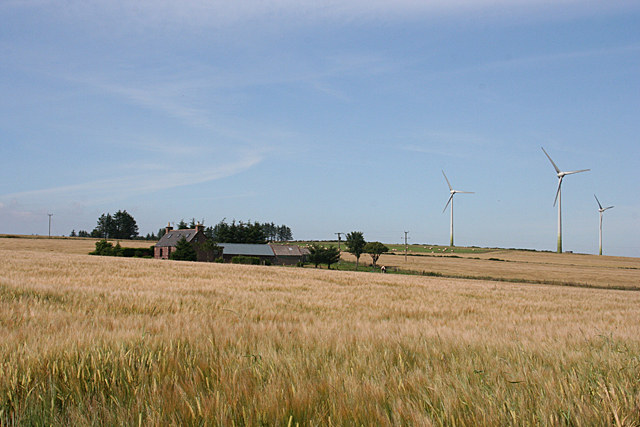
Image: © Anne Burgess Taken: 22 Jul 2014
This is one of two houses, both named on the map as Cairnhill. It is shown on the first edition of the Ordnance Survey six-inch map without a name, and the 1903 names it as Cairnhill. The other, and now much larger, Cairnhill, a kilometre or so east, is named on the old maps as Little Cairnhill.
Images are licensed for reuse under creativecommons.org/licenses/by-sa/2.0
Image Location
Latitude
57.557002
Longitude
-2.374156