Former Kirk
Introduction
The photograph on this page of Former Kirk by Anne Burgess as part of the Geograph project.
The Geograph project started in 2005 with the aim of publishing, organising and preserving representative images for every square kilometre of Great Britain, Ireland and the Isle of Man.

There are currently over 7.5m images from over 14,400 individuals and you can help contribute to the project by visiting https://www.geograph.org.uk
Former Kirk
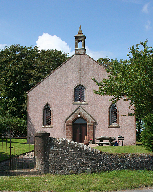
Image: © Anne Burgess Taken: 22 Jul 2014
Interestingly, the contemporary maps, even online, still mark this as a kirk, though it has been a house for some time. See Image
Images are licensed for reuse under creativecommons.org/licenses/by-sa/2.0
Image Location
Latitude
57.600916
Longitude
-2.346331