Beside the Burn of Boyne
Introduction
The photograph on this page of Beside the Burn of Boyne by Anne Burgess as part of the Geograph project.
The Geograph project started in 2005 with the aim of publishing, organising and preserving representative images for every square kilometre of Great Britain, Ireland and the Isle of Man.

There are currently over 7.5m images from over 14,400 individuals and you can help contribute to the project by visiting https://www.geograph.org.uk
Beside the Burn of Boyne
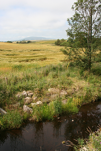
Image: © Anne Burgess Taken: 22 Jul 2014
Ripening barley beside the burn, with Knock Hill faint on the distant horizon.
Images are licensed for reuse under creativecommons.org/licenses/by-sa/2.0
Image Location
Latitude
57.636416
Longitude
-2.675101