Paths in the Squirrel Wood
Introduction
The photograph on this page of Paths in the Squirrel Wood by Lairich Rig as part of the Geograph project.
The Geograph project started in 2005 with the aim of publishing, organising and preserving representative images for every square kilometre of Great Britain, Ireland and the Isle of Man.

There are currently over 7.5m images from over 14,400 individuals and you can help contribute to the project by visiting https://www.geograph.org.uk
Paths in the Squirrel Wood
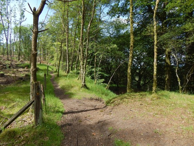
Image: © Lairich Rig Taken: 20 Jun 2014
A signposted route leading from beside Boards Farm (see Image) to the B821 enters at the lower edge of the photograph, and then, as indicated by the small marker on the post, turns right, to follow a route that, in this picture, immediately dips out of sight; there, it passes the top of Image Image, which does not appear in the picture, is directly to the left of the photographer's position. The path that is visible on the left is not a part of the public footpath to the B821. It leads, instead, past the top of Image, before coming to a dead end.
Images are licensed for reuse under creativecommons.org/licenses/by-sa/2.0
Image Location
Latitude
55.985943
Longitude
-4.335922