Llwybr Cwm Saeson Path
Introduction
The photograph on this page of Llwybr Cwm Saeson Path by Alan Richards as part of the Geograph project.
The Geograph project started in 2005 with the aim of publishing, organising and preserving representative images for every square kilometre of Great Britain, Ireland and the Isle of Man.

There are currently over 7.5m images from over 14,400 individuals and you can help contribute to the project by visiting https://www.geograph.org.uk
Llwybr Cwm Saeson Path
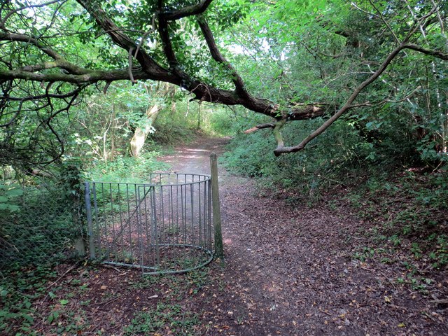
Image: © Alan Richards Taken: 26 Jul 2014
Gât fochyn ar lwybr cyhoeddus ger anhedd-dy o'r enw Cwm Saeson er taw Nant Arw yw'r ffrwd a lifa i lawr y cwm. A kissing gate on a public footpath near a property called Cwm Saeson (trans. Englishmen's valley. However, the name of the stream that flows down the valley is known as Nant Arw (trans. rough stream).
Images are licensed for reuse under creativecommons.org/licenses/by-sa/2.0
Image Location
Latitude
51.782828
Longitude
-4.023991