Llwybr Cyhoeddus Saron Public Footpath
Introduction
The photograph on this page of Llwybr Cyhoeddus Saron Public Footpath by Alan Richards as part of the Geograph project.
The Geograph project started in 2005 with the aim of publishing, organising and preserving representative images for every square kilometre of Great Britain, Ireland and the Isle of Man.

There are currently over 7.5m images from over 14,400 individuals and you can help contribute to the project by visiting https://www.geograph.org.uk
Llwybr Cyhoeddus Saron Public Footpath
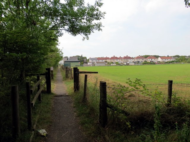
Image: © Alan Richards Taken: 26 Jul 2014
Llwybr cyhoeddus yn mynd heibio i gae pel-droed Tim Ieuenctid Saron. A public footpath passing alongside Saron Juniors football pitch.
Images are licensed for reuse under creativecommons.org/licenses/by-sa/2.0
Image Location


Leaflet Map data © OpenStreetMap
Latitude
51.788438
Longitude
-4.032362