Footpath To Fitty Hill
Introduction
The photograph on this page of Footpath To Fitty Hill by Rude Health as part of the Geograph project.
The Geograph project started in 2005 with the aim of publishing, organising and preserving representative images for every square kilometre of Great Britain, Ireland and the Isle of Man.

There are currently over 7.5m images from over 14,400 individuals and you can help contribute to the project by visiting https://www.geograph.org.uk
Footpath To Fitty Hill
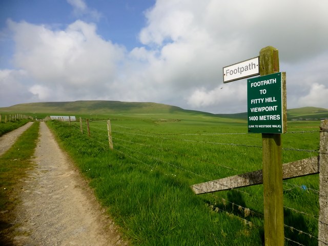
Image: © Rude Health Taken: 29 May 2014
A very easy route to help you bag Westray's island highpoint called Fitty Hill.
Images are licensed for reuse under creativecommons.org/licenses/by-sa/2.0
Image Location


Leaflet Map data © OpenStreetMap
Latitude
59.287503
Longitude
-2.980638