Cardigan Street, Jericho, Oxford
Introduction
The photograph on this page of Cardigan Street, Jericho, Oxford by Jaggery as part of the Geograph project.
The Geograph project started in 2005 with the aim of publishing, organising and preserving representative images for every square kilometre of Great Britain, Ireland and the Isle of Man.

There are currently over 7.5m images from over 14,400 individuals and you can help contribute to the project by visiting https://www.geograph.org.uk
Cardigan Street, Jericho, Oxford
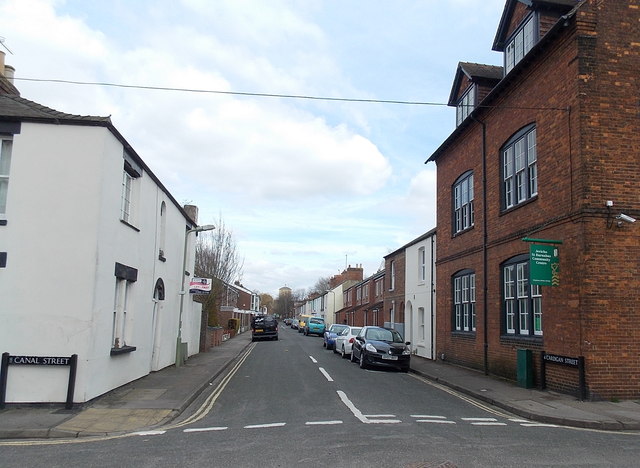
Image: © Jaggery Taken: 31 Mar 2013
Viewed across Canal Street looking along Cardigan Street towards Albert Street. Jericho St Barnabas Community Centre http://www.geograph.org.uk/photo/4088879 is on the right.
Images are licensed for reuse under creativecommons.org/licenses/by-sa/2.0
Image Location
Latitude
51.758509
Longitude
-1.268291