Pasture land and new houses
Introduction
The photograph on this page of Pasture land and new houses by Natasha Ceridwen de Chroustchoff as part of the Geograph project.
The Geograph project started in 2005 with the aim of publishing, organising and preserving representative images for every square kilometre of Great Britain, Ireland and the Isle of Man.

There are currently over 7.5m images from over 14,400 individuals and you can help contribute to the project by visiting https://www.geograph.org.uk
Pasture land and new houses
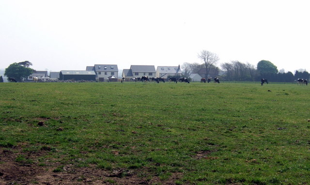
Image: © Natasha Ceridwen de Chroustchoff Taken: 21 Apr 2007
The flat land north of Haverfordwest is cow country. This hamlet, named on the map as Lands End, appears to consist of modern houses along with an older farm.
Images are licensed for reuse under creativecommons.org/licenses/by-sa/2.0
Image Location


Leaflet Map data © OpenStreetMap
Latitude
51.836021
Longitude
-4.941344