Childwall Fiveways
Introduction
The photograph on this page of Childwall Fiveways by Sue Adair as part of the Geograph project.
The Geograph project started in 2005 with the aim of publishing, organising and preserving representative images for every square kilometre of Great Britain, Ireland and the Isle of Man.

There are currently over 7.5m images from over 14,400 individuals and you can help contribute to the project by visiting https://www.geograph.org.uk
Childwall Fiveways
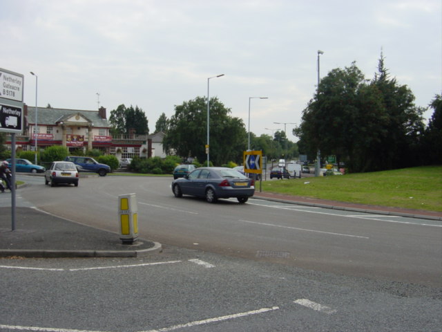
Image: © Sue Adair Taken: 16 Aug 2005
This area and the public house on the left are called "The Childwall Fiveways" as it is the junction of the ring road A5058 Queens Drive, Childwall Road, Childwall Valley Road and Childwall Priory Road. It is a very busy roundabout at all times of day but especially at rush hour.
Images are licensed for reuse under creativecommons.org/licenses/by-sa/2.0
Image Location


Leaflet Map data © OpenStreetMap
Latitude
53.397148
Longitude
-2.897785