Manchester from Barton Bridge
Introduction
The photograph on this page of Manchester from Barton Bridge by Steven Haslington as part of the Geograph project.
The Geograph project started in 2005 with the aim of publishing, organising and preserving representative images for every square kilometre of Great Britain, Ireland and the Isle of Man.

There are currently over 7.5m images from over 14,400 individuals and you can help contribute to the project by visiting https://www.geograph.org.uk
Manchester from Barton Bridge
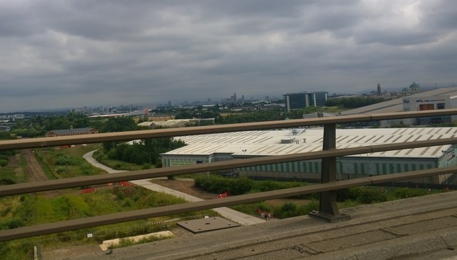
Image: © Steven Haslington Taken: 20 Jul 2014
The summit of Barton Bridge is the boundary between the City of Salford (north) and the Borough of Trafford (south) in Greater Manchester, England. It carries the M60 motorway over the Manchester Ship Canal, and offers panoramic views of Manchester and its surrounds.
Images are licensed for reuse under creativecommons.org/licenses/by-sa/2.0
Image Location
Latitude
53.469991
Longitude
-2.36392