Pont Llanfair
Introduction
The photograph on this page of Pont Llanfair by Alan Richards as part of the Geograph project.
The Geograph project started in 2005 with the aim of publishing, organising and preserving representative images for every square kilometre of Great Britain, Ireland and the Isle of Man.

There are currently over 7.5m images from over 14,400 individuals and you can help contribute to the project by visiting https://www.geograph.org.uk
Pont Llanfair
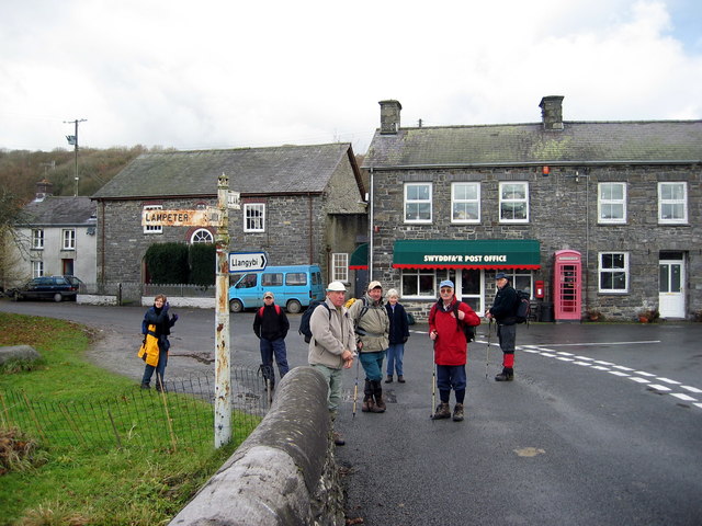
Image: © Alan Richards Taken: 16 Nov 2003
Cerddwyr yn cael seibint ar Bont Llanfair. Walkers having at breather at Pont Llanfair (trans. St Mary's church Bridge).
Images are licensed for reuse under creativecommons.org/licenses/by-sa/2.0
Image Location
Latitude
52.143919
Longitude
-4.015336