Bridleway north of Rodsall Manor
Introduction
The photograph on this page of Bridleway north of Rodsall Manor by Stefan Czapski as part of the Geograph project.
The Geograph project started in 2005 with the aim of publishing, organising and preserving representative images for every square kilometre of Great Britain, Ireland and the Isle of Man.

There are currently over 7.5m images from over 14,400 individuals and you can help contribute to the project by visiting https://www.geograph.org.uk
Bridleway north of Rodsall Manor
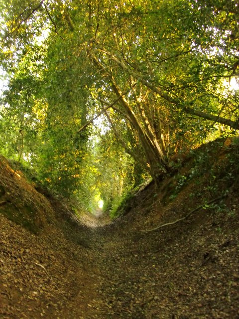
Image: © Stefan Czapski Taken: 24 Jul 2014
For some distance this bridleway runs as a hollow lane, between high banks. The view is southwards (or SSW) towards Rodsall Manor.
Images are licensed for reuse under creativecommons.org/licenses/by-sa/2.0
Image Location
Latitude
51.204986
Longitude
-0.683043