Smestow Brook at Newbridge
Introduction
The photograph on this page of Smestow Brook at Newbridge by John M as part of the Geograph project.
The Geograph project started in 2005 with the aim of publishing, organising and preserving representative images for every square kilometre of Great Britain, Ireland and the Isle of Man.

There are currently over 7.5m images from over 14,400 individuals and you can help contribute to the project by visiting https://www.geograph.org.uk
Smestow Brook at Newbridge
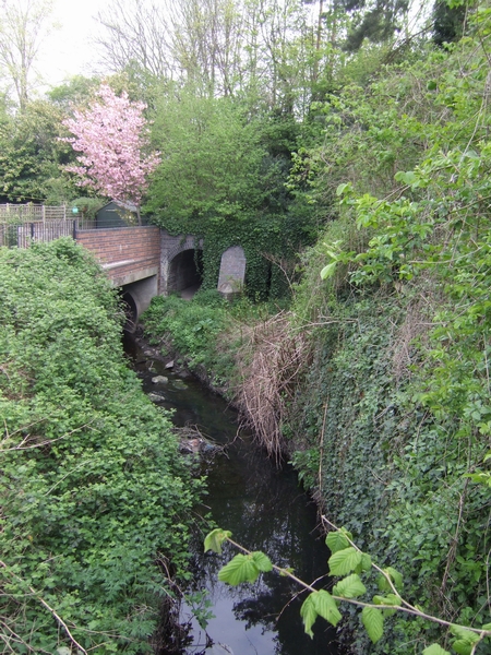
Image: © John M Taken: 21 Apr 2007
The brook passes under the A41 embankment in a large concrete pipe. The original blue brick culvert has been kept as an overflow channel.
Images are licensed for reuse under creativecommons.org/licenses/by-sa/2.0
Image Location
Latitude
52.597143
Longitude
-2.161025