Road junction, Quainton
Introduction
The photograph on this page of Road junction, Quainton by Andy Gryce as part of the Geograph project.
The Geograph project started in 2005 with the aim of publishing, organising and preserving representative images for every square kilometre of Great Britain, Ireland and the Isle of Man.

There are currently over 7.5m images from over 14,400 individuals and you can help contribute to the project by visiting https://www.geograph.org.uk
Road junction, Quainton
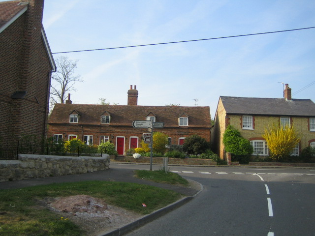
Image: © Andy Gryce Taken: 21 Apr 2007
Lower Street runs across the photo with Station Road in the foreground. The village green in Quainton is about 100m to the right along Lower Street. Station Road goes to Quainton station, which is now the Buckinghamshire Railway Centre, a restored railway.
Images are licensed for reuse under creativecommons.org/licenses/by-sa/2.0
Image Location
Latitude
51.873779
Longitude
-0.918531