Field and footpath near Quainton
Introduction
The photograph on this page of Field and footpath near Quainton by Andy Gryce as part of the Geograph project.
The Geograph project started in 2005 with the aim of publishing, organising and preserving representative images for every square kilometre of Great Britain, Ireland and the Isle of Man.

There are currently over 7.5m images from over 14,400 individuals and you can help contribute to the project by visiting https://www.geograph.org.uk
Field and footpath near Quainton
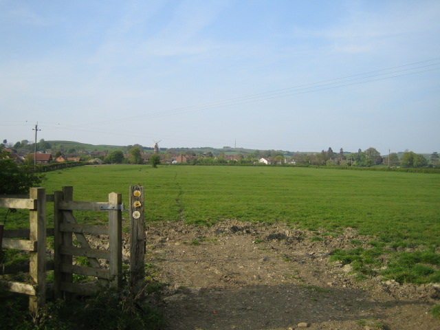
Image: © Andy Gryce Taken: 21 Apr 2007
The footpath is the North Buckinghamshire Way and the Midshires Way, and the village of Quainton is to the left and in the middle distance. The Quainton windmill, the tallest in Buckinghamshire, can also be seen in the distance in the direction of the footpath.
Images are licensed for reuse under creativecommons.org/licenses/by-sa/2.0
Image Location
Latitude
51.871252
Longitude
-0.917575