A maize crop near Drayton
Introduction
The photograph on this page of A maize crop near Drayton by Philip Halling as part of the Geograph project.
The Geograph project started in 2005 with the aim of publishing, organising and preserving representative images for every square kilometre of Great Britain, Ireland and the Isle of Man.

There are currently over 7.5m images from over 14,400 individuals and you can help contribute to the project by visiting https://www.geograph.org.uk
A maize crop near Drayton
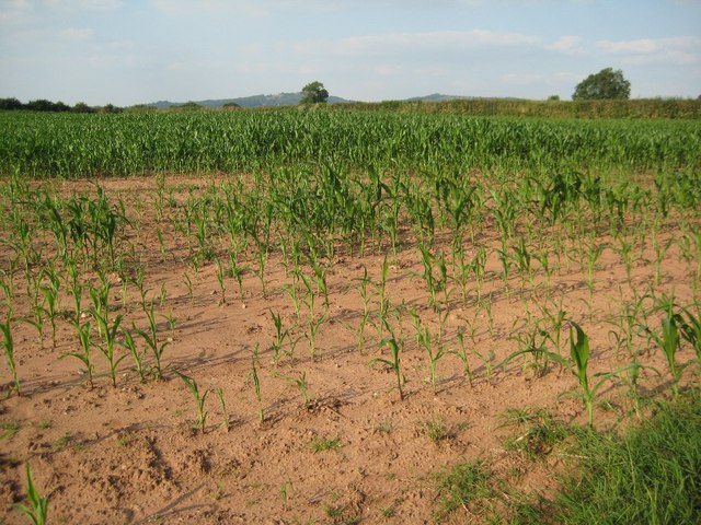
Image: © Philip Halling Taken: 22 Jul 2014
A fairly thin maize crop beside Egg Lane near Drayton. The Clent Hills are in the background. Surprised to find no other Geographer has visited this location since my last visit in March 2007, more than seven years ago.
Images are licensed for reuse under creativecommons.org/licenses/by-sa/2.0
Image Location
Latitude
52.389761
Longitude
-2.149247