The west gable end of Ruthin Drill Hall/Youth Centre
Introduction
The photograph on this page of The west gable end of Ruthin Drill Hall/Youth Centre by John S Turner as part of the Geograph project.
The Geograph project started in 2005 with the aim of publishing, organising and preserving representative images for every square kilometre of Great Britain, Ireland and the Isle of Man.

There are currently over 7.5m images from over 14,400 individuals and you can help contribute to the project by visiting https://www.geograph.org.uk
The west gable end of Ruthin Drill Hall/Youth Centre
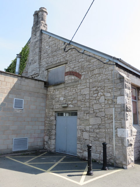
Image: © John S Turner Taken: 23 Jul 2014
The west gable of the former Drill Hall has some tall bricked-up arches of unknown purpose. See also: Image
Images are licensed for reuse under creativecommons.org/licenses/by-sa/2.0
Image Location
Latitude
53.113949
Longitude
-3.317678