Bridge over A12 for restricted access junction
Introduction
The photograph on this page of Bridge over A12 for restricted access junction by David Smith as part of the Geograph project.
The Geograph project started in 2005 with the aim of publishing, organising and preserving representative images for every square kilometre of Great Britain, Ireland and the Isle of Man.

There are currently over 7.5m images from over 14,400 individuals and you can help contribute to the project by visiting https://www.geograph.org.uk
Bridge over A12 for restricted access junction
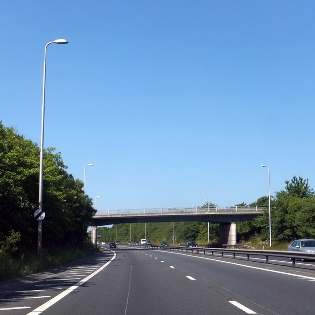
Image: © David Smith Taken: 21 Jun 2014
The A12 by-passes Hatfield Peverel with two restricted access junctions to "The Street", the old A12, now B1137. At each end of the by-pass the junctions act as extensions of "The Street"; to the south-west, there is access for south-west facing traffic to the A12, and access from the A12 for north-east facing traffic. To the north-east, the roles are reversed.
Images are licensed for reuse under creativecommons.org/licenses/by-sa/2.0
Image Location
Latitude
51.778166
Longitude
0.59971