Horton Gardens
Introduction
The photograph on this page of Horton Gardens by Alan Hunt as part of the Geograph project.
The Geograph project started in 2005 with the aim of publishing, organising and preserving representative images for every square kilometre of Great Britain, Ireland and the Isle of Man.

There are currently over 7.5m images from over 14,400 individuals and you can help contribute to the project by visiting https://www.geograph.org.uk
Horton Gardens
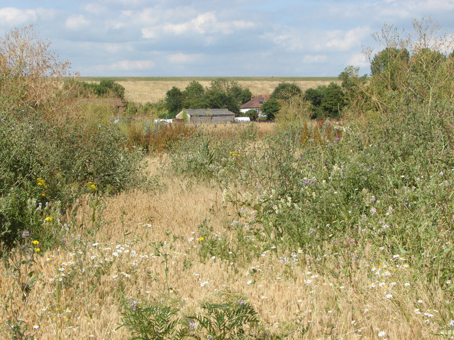
Image: © Alan Hunt Taken: 15 Jul 2014
The area marked on the maps as Horton Gardens to the north of the Gravel Pits. The embankment of the Queen mother Reservoir is in the background.
Images are licensed for reuse under creativecommons.org/licenses/by-sa/2.0
Image Location
Latitude
51.471787
Longitude
-0.553424