North End Farm
Introduction
The photograph on this page of North End Farm by Simon Carey as part of the Geograph project.
The Geograph project started in 2005 with the aim of publishing, organising and preserving representative images for every square kilometre of Great Britain, Ireland and the Isle of Man.

There are currently over 7.5m images from over 14,400 individuals and you can help contribute to the project by visiting https://www.geograph.org.uk
North End Farm
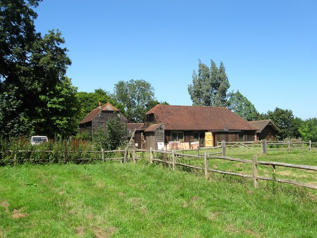
Image: © Simon Carey Taken: 22 Jul 2014
One of the wooden barns dates back to the 18th century and another old outbuilding seems to have been converted into a residence.
Images are licensed for reuse under creativecommons.org/licenses/by-sa/2.0
Image Location


Leaflet Map data © OpenStreetMap
Latitude
50.959273
Longitude
-0.172683