North End Copse
Introduction
The photograph on this page of North End Copse by Simon Carey as part of the Geograph project.
The Geograph project started in 2005 with the aim of publishing, organising and preserving representative images for every square kilometre of Great Britain, Ireland and the Isle of Man.

There are currently over 7.5m images from over 14,400 individuals and you can help contribute to the project by visiting https://www.geograph.org.uk
North End Copse
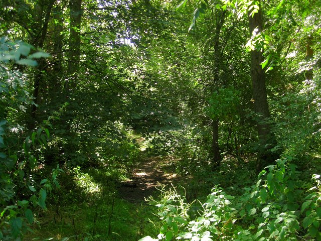
Image: © Simon Carey Taken: 22 Jul 2014
An old wood to the south east of North End Farm. Viewed from the footpath that links High Hatch Lane to Cuckfield Road and following a track into the wood itself.
Images are licensed for reuse under creativecommons.org/licenses/by-sa/2.0
Image Location
Latitude
50.958624
Longitude
-0.171427