VERY old railway bridge
Introduction
The photograph on this page of VERY old railway bridge by Nick W as part of the Geograph project.
The Geograph project started in 2005 with the aim of publishing, organising and preserving representative images for every square kilometre of Great Britain, Ireland and the Isle of Man.

There are currently over 7.5m images from over 14,400 individuals and you can help contribute to the project by visiting https://www.geograph.org.uk
VERY old railway bridge
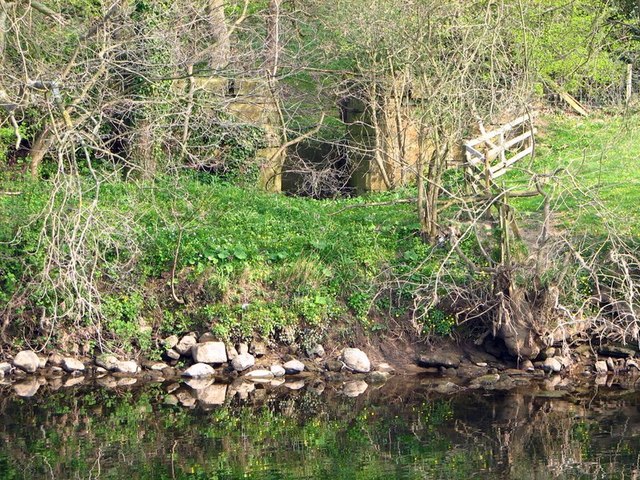
Image: © Nick W Taken: 15 Apr 2007
This is a redundant railway bridge from the remains of the old narrow gauge railway that was built for the construction of the Leighton and Roundhill dams at the top end of the valley of the River Burn? This line started in the field opposite Masham station [SE233813], crossed the Ure somewhere north of the road bridge, then made its way up past Healey etc. A few traces of it can be found in the Burn valley and nearer the reservoirs. The standard gauge line ended at the station which is now the caravan site. Many thanks to Gordon Hatton for correcting my original posting
Images are licensed for reuse under creativecommons.org/licenses/by-sa/2.0
Image Location
Latitude
54.233396
Longitude
-1.656324