Meadows Way West at Wilford Road
Introduction
The photograph on this page of Meadows Way West at Wilford Road by Alan Murray-Rust as part of the Geograph project.
The Geograph project started in 2005 with the aim of publishing, organising and preserving representative images for every square kilometre of Great Britain, Ireland and the Isle of Man.

There are currently over 7.5m images from over 14,400 individuals and you can help contribute to the project by visiting https://www.geograph.org.uk
Meadows Way West at Wilford Road
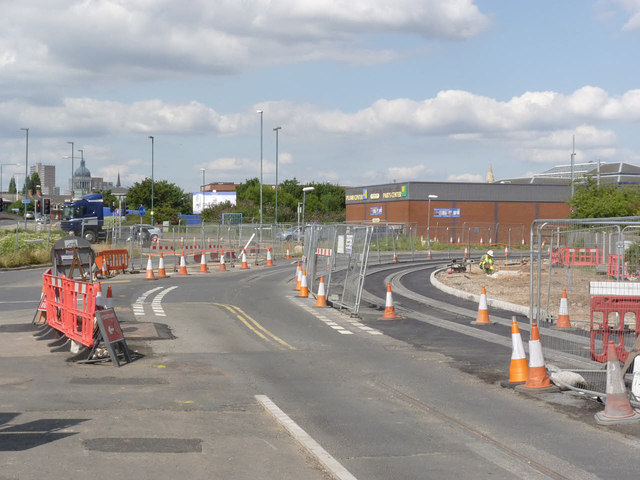
Image: © Alan Murray-Rust Taken: 21 Jul 2014
Once the outbound track has been surfaced, it will be possible to divert road traffic and allow the short gap in the inbound to be filled.
Images are licensed for reuse under creativecommons.org/licenses/by-sa/2.0
Image Location
Latitude
52.944828
Longitude
-1.153048