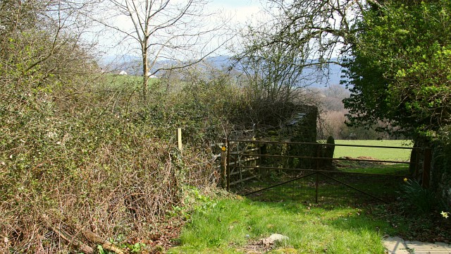
An Easter Walk in the Conwy Valley - 22
Introduction
The photograph on this page of An Easter Walk in the Conwy Valley - 22 by Alan Walker as part of the Geograph project.
The Geograph project started in 2005 with the aim of publishing, organising and preserving representative images for every square kilometre of Great Britain, Ireland and the Isle of Man.
There are currently over 7.5m images from over 14,400 individuals and you can help contribute to the project by visiting https://www.geograph.org.uk

Image: © Alan Walker Taken: 8 Apr 2007
The photograph was taken on a public footpath connecting an unclassified road (ahead and left) between Ty’n-y-groes and Rowen with Pontwgan (behind the viewpoint and right). Following the photographs in sequence the walker will have approached this point from the field ahead even though the OS Map OL17 shows that the path actually runs uphill through an impassable walled track to arrive at this point via the partly obscured gate to the left Behind the viewpoint the walk continues by turning south onto an unclassified road for some 100metres before continuing back onto fields http://www.multimap.com/map/browse.cgi?lat=53.2261&lon=-3.8461&scale=25000&icon=x . To see the next photograph on this walk, click here Image To see the previous photograph on the walk, click here Image To go to the start of the walk, click here Image

