Rock Hill House, Rock Hill Road
Introduction
The photograph on this page of Rock Hill House, Rock Hill Road by John Baker as part of the Geograph project.
The Geograph project started in 2005 with the aim of publishing, organising and preserving representative images for every square kilometre of Great Britain, Ireland and the Isle of Man.

There are currently over 7.5m images from over 14,400 individuals and you can help contribute to the project by visiting https://www.geograph.org.uk
Rock Hill House, Rock Hill Road
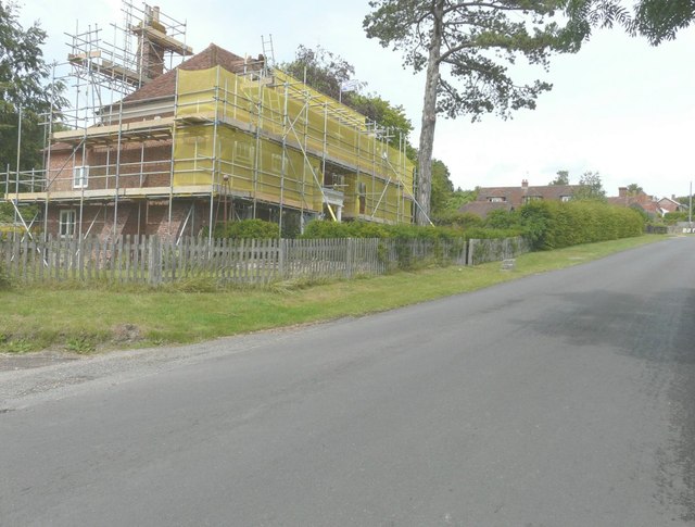
Image: © John Baker Taken: 6 Jul 2014
Planning permission has been granted by Ashford Borough Council under application number 13/00284/AS for the “erection of a single storey rear extension. External works to patio area and boundary wall” It is a grade II listed building that was rebuilt in 1721 but is Tudor in origin http://www.britishlistedbuildings.co.uk/en-180835-rock-hill-house-egerton-kent
Images are licensed for reuse under creativecommons.org/licenses/by-sa/2.0
Image Location
Latitude
51.19237
Longitude
0.724182