Tidal ford
Introduction
The photograph on this page of Tidal ford by Michael Smerdon as part of the Geograph project.
The Geograph project started in 2005 with the aim of publishing, organising and preserving representative images for every square kilometre of Great Britain, Ireland and the Isle of Man.

There are currently over 7.5m images from over 14,400 individuals and you can help contribute to the project by visiting https://www.geograph.org.uk
Tidal ford
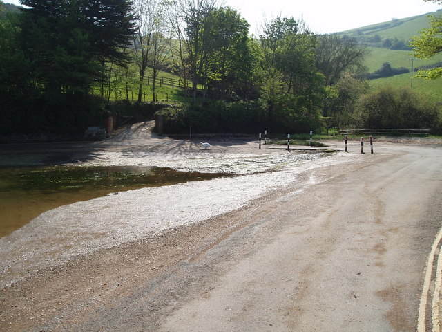
Image: © Michael Smerdon Taken: 21 Apr 2007
The road totally floods on a high tide. Note the bollards on the side of the road so you know where it is when it is flooded.
Images are licensed for reuse under creativecommons.org/licenses/by-sa/2.0
Image Location


Leaflet Map data © OpenStreetMap
Latitude
50.237434
Longitude
-3.744915