Elmstone Hole Road and the Greensand Way
Introduction
The photograph on this page of Elmstone Hole Road and the Greensand Way by Marathon as part of the Geograph project.
The Geograph project started in 2005 with the aim of publishing, organising and preserving representative images for every square kilometre of Great Britain, Ireland and the Isle of Man.

There are currently over 7.5m images from over 14,400 individuals and you can help contribute to the project by visiting https://www.geograph.org.uk
Elmstone Hole Road and the Greensand Way
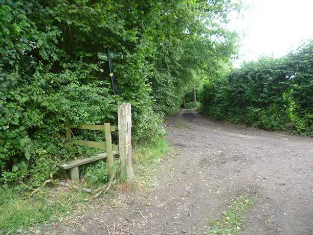
Image: © Marathon Taken: 20 Jul 2014
The Greensand Way is here on its way from Boughton Malherbe and Liverton Street to Ulcombe Church. Here it reaches Elmstone Hole Road where it passes through the hedge on the right and then follows the other side of it, parallel to the road for a short way.
Images are licensed for reuse under creativecommons.org/licenses/by-sa/2.0
Image Location
Latitude
51.218724
Longitude
0.673464