Roman Road, Upper Harbledown
Introduction
The photograph on this page of Roman Road, Upper Harbledown by Penny Mayes as part of the Geograph project.
The Geograph project started in 2005 with the aim of publishing, organising and preserving representative images for every square kilometre of Great Britain, Ireland and the Isle of Man.

There are currently over 7.5m images from over 14,400 individuals and you can help contribute to the project by visiting https://www.geograph.org.uk
Roman Road, Upper Harbledown
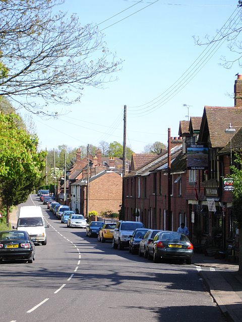
Image: © Penny Mayes Taken: 21 Apr 2007
Roman Road was once the course of the A2 - thank goodness they built the bypass dual carriageway leaving this little village in relative peace.
Images are licensed for reuse under creativecommons.org/licenses/by-sa/2.0
Image Location
Latitude
51.285259
Longitude
1.032167