Llwybr caniataol / Permissive footpath
Introduction
The photograph on this page of Llwybr caniataol / Permissive footpath by Alan Richards as part of the Geograph project.
The Geograph project started in 2005 with the aim of publishing, organising and preserving representative images for every square kilometre of Great Britain, Ireland and the Isle of Man.

There are currently over 7.5m images from over 14,400 individuals and you can help contribute to the project by visiting https://www.geograph.org.uk
Llwybr caniataol / Permissive footpath
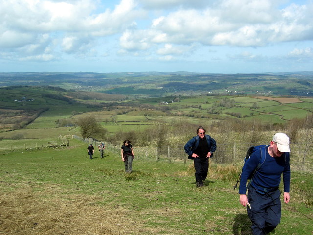
Image: © Alan Richards Taken: 5 Apr 2009
Cerddwyr yn dilyn llwybr, a oedd ar y pryd yn ffordd ganiataol, lan i Fynydd Pencarreg. Walkers ascending to Mynydd Pencarreg (trans top of the stone mountain) which was at the time a permissive footpath.
Images are licensed for reuse under creativecommons.org/licenses/by-sa/2.0
Image Location


Leaflet Map data © OpenStreetMap
Latitude
52.067998
Longitude
-4.089245