Nant Dolgwm Stream
Introduction
The photograph on this page of Nant Dolgwm Stream by Alan Richards as part of the Geograph project.
The Geograph project started in 2005 with the aim of publishing, organising and preserving representative images for every square kilometre of Great Britain, Ireland and the Isle of Man.

There are currently over 7.5m images from over 14,400 individuals and you can help contribute to the project by visiting https://www.geograph.org.uk
Nant Dolgwm Stream
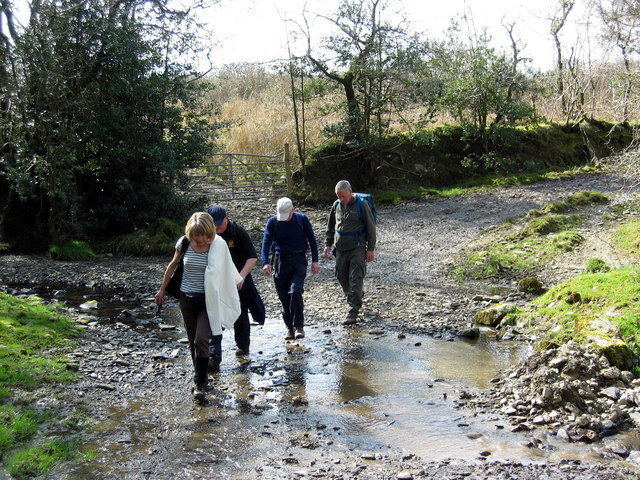
Image: © Alan Richards Taken: 5 Apr 2009
Cerddwyr yn rhydio Nant Dolgwm islaw Ffarm Llwyn Owen. Walkers fording Dolgwm (trans. valley meadow) stream below Llwyn Owen Farm (trans. Owen's grove)
Images are licensed for reuse under creativecommons.org/licenses/by-sa/2.0
Image Location


Leaflet Map data © OpenStreetMap
Latitude
52.080373
Longitude
-4.106315