Playing fields in Kidbrooke
Introduction
The photograph on this page of Playing fields in Kidbrooke by Stephen Craven as part of the Geograph project.
The Geograph project started in 2005 with the aim of publishing, organising and preserving representative images for every square kilometre of Great Britain, Ireland and the Isle of Man.

There are currently over 7.5m images from over 14,400 individuals and you can help contribute to the project by visiting https://www.geograph.org.uk
Playing fields in Kidbrooke
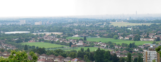
Image: © Stephen Craven Taken: 20 Jul 2014
This view, north-westwards from Severndroog Castle, shows the extent of these two sets of playing fields either side of Broad Walk, which between them occupy a fair proportion of the square. The larger green space in the distance is Blackheath.
Images are licensed for reuse under creativecommons.org/licenses/by-sa/2.0
Image Location
Latitude
51.467841
Longitude
0.038766