Sandflats at Malacleit
Introduction
The photograph on this page of Sandflats at Malacleit by Hugh Venables as part of the Geograph project.
The Geograph project started in 2005 with the aim of publishing, organising and preserving representative images for every square kilometre of Great Britain, Ireland and the Isle of Man.

There are currently over 7.5m images from over 14,400 individuals and you can help contribute to the project by visiting https://www.geograph.org.uk
Sandflats at Malacleit
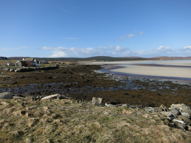
Image: © Hugh Venables Taken: 21 Apr 2013
Intertidal area sheltered by Vallay.
Images are licensed for reuse under creativecommons.org/licenses/by-sa/2.0
Image Location
Latitude
57.639133
Longitude
-7.376159