Track across arable field at Wandylaw
Introduction
The photograph on this page of Track across arable field at Wandylaw by Graham Robson as part of the Geograph project.
The Geograph project started in 2005 with the aim of publishing, organising and preserving representative images for every square kilometre of Great Britain, Ireland and the Isle of Man.

There are currently over 7.5m images from over 14,400 individuals and you can help contribute to the project by visiting https://www.geograph.org.uk
Track across arable field at Wandylaw
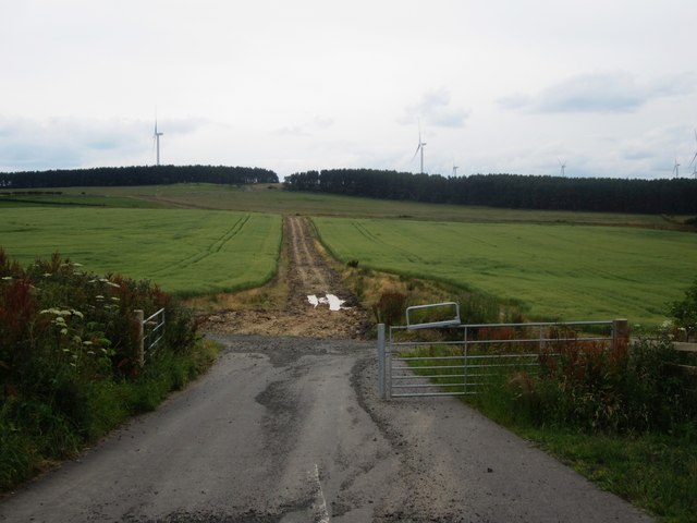
Image: © Graham Robson Taken: 12 Jul 2014
This track across an arable field to the north of Wandylaw was built to enable construction traffic for Wandylaw Wind Farm to avoid the narrow section of road around the houses at Wandylaw. After completion of the development the wide, well made stone surface has been removed.
Images are licensed for reuse under creativecommons.org/licenses/by-sa/2.0
Image Location
Latitude
55.522211
Longitude
-1.764928