Lamb House, Cuckfield Road, Hurstpierpoint
Introduction
The photograph on this page of Lamb House, Cuckfield Road, Hurstpierpoint by Simon Carey as part of the Geograph project.
The Geograph project started in 2005 with the aim of publishing, organising and preserving representative images for every square kilometre of Great Britain, Ireland and the Isle of Man.

There are currently over 7.5m images from over 14,400 individuals and you can help contribute to the project by visiting https://www.geograph.org.uk
Lamb House, Cuckfield Road, Hurstpierpoint
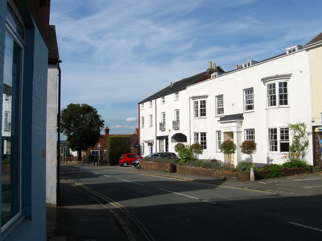
Image: © Simon Carey Taken: 17 Jul 2014
Dating from the early 19th century and possibly originally part of the neighbouring Lamb Inn, of which only the building with the arch survives, see http://www.closedpubs.co.uk/sussex/hurstpierpoint_lambinn.html for a similar view from the early part of the 20th century. Not sure when the pub closed or when the old building was redeveloped.
Images are licensed for reuse under creativecommons.org/licenses/by-sa/2.0
Image Location
Latitude
50.934106
Longitude
-0.179363