The Spelga Dam
Introduction
The photograph on this page of The Spelga Dam by Eric Jones as part of the Geograph project.
The Geograph project started in 2005 with the aim of publishing, organising and preserving representative images for every square kilometre of Great Britain, Ireland and the Isle of Man.

There are currently over 7.5m images from over 14,400 individuals and you can help contribute to the project by visiting https://www.geograph.org.uk
The Spelga Dam
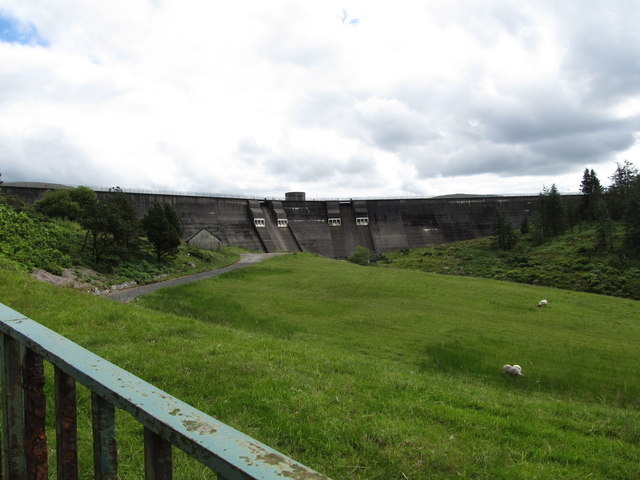
Image: © Eric Jones Taken: 13 Jun 2013
Construction of the dam in the early 190s presented some tricky engineering problems. As the building progressed it was found that the foundations were sinking into the bedrook - as much as 40m at some points.
Images are licensed for reuse under creativecommons.org/licenses/by-sa/2.0
Image Location
Latitude
54.178468
Longitude
-6.062109