Nant Cwm-parc, Cwmparc
Introduction
The photograph on this page of Nant Cwm-parc, Cwmparc by Jaggery as part of the Geograph project.
The Geograph project started in 2005 with the aim of publishing, organising and preserving representative images for every square kilometre of Great Britain, Ireland and the Isle of Man.

There are currently over 7.5m images from over 14,400 individuals and you can help contribute to the project by visiting https://www.geograph.org.uk
Nant Cwm-parc, Cwmparc
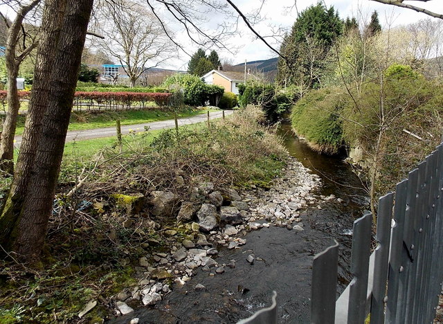
Image: © Jaggery Taken: 4 Apr 2014
Viewed from the A4061 Station Road. The stream Nant Cwm-parc is a tributary of the Rhondda Fawr, into which it flows about 250 metres ahead, opposite Brook Street in Treorchy.
Images are licensed for reuse under creativecommons.org/licenses/by-sa/2.0
Image Location


Leaflet Map data © OpenStreetMap
Latitude
51.657677
Longitude
-3.508341