A134 in a cutting bypassing Sudbury
Introduction
The photograph on this page of A134 in a cutting bypassing Sudbury by David Smith as part of the Geograph project.
The Geograph project started in 2005 with the aim of publishing, organising and preserving representative images for every square kilometre of Great Britain, Ireland and the Isle of Man.

There are currently over 7.5m images from over 14,400 individuals and you can help contribute to the project by visiting https://www.geograph.org.uk
A134 in a cutting bypassing Sudbury
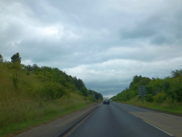
Image: © David Smith Taken: 19 Jun 2014
The bypass runs in a straight line for over a kilometre; the shallow cutting extends for about half that distance
Images are licensed for reuse under creativecommons.org/licenses/by-sa/2.0
Image Location
Latitude
52.055468
Longitude
0.717171