Underpass between Kingfisher Drive and Hopewell Drive
Introduction
The photograph on this page of Underpass between Kingfisher Drive and Hopewell Drive by Chris Whippet as part of the Geograph project.
The Geograph project started in 2005 with the aim of publishing, organising and preserving representative images for every square kilometre of Great Britain, Ireland and the Isle of Man.

There are currently over 7.5m images from over 14,400 individuals and you can help contribute to the project by visiting https://www.geograph.org.uk
Underpass between Kingfisher Drive and Hopewell Drive
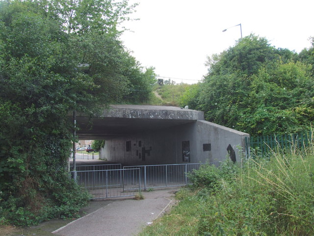
Image: © Chris Whippet Taken: 15 Jul 2014
Kingfisher Drive and Hopewell Drive were formerly known as Princes Avenue. The underpass came into existence after the construction of Heron Way in the late 1970s.
Images are licensed for reuse under creativecommons.org/licenses/by-sa/2.0
Image Location
Latitude
51.362368
Longitude
0.543765