Unclassified SW end of Abercerdin Road, Evanstown
Introduction
The photograph on this page of Unclassified SW end of Abercerdin Road, Evanstown by Jaggery as part of the Geograph project.
The Geograph project started in 2005 with the aim of publishing, organising and preserving representative images for every square kilometre of Great Britain, Ireland and the Isle of Man.

There are currently over 7.5m images from over 14,400 individuals and you can help contribute to the project by visiting https://www.geograph.org.uk
Unclassified SW end of Abercerdin Road, Evanstown
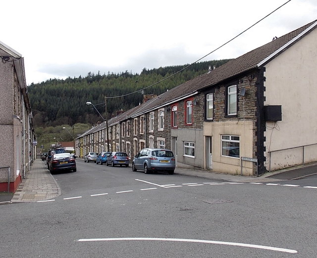
Image: © Jaggery Taken: 11 Apr 2014
Behind the camera, Abercerdin Road is part of the B4564. The curved white line in the foreground marks the course of the B4564, which is renamed Coronation Road beyond the left edge of the view. The unclassified Abercerdin Road ahead descends towards Gilfach Goch Welfare Park.
Images are licensed for reuse under creativecommons.org/licenses/by-sa/2.0
Image Location
Latitude
51.594216
Longitude
-3.478374