Fakeswell Lane, Lower Stondon
Introduction
The photograph on this page of Fakeswell Lane, Lower Stondon by Humphrey Bolton as part of the Geograph project.
The Geograph project started in 2005 with the aim of publishing, organising and preserving representative images for every square kilometre of Great Britain, Ireland and the Isle of Man.

There are currently over 7.5m images from over 14,400 individuals and you can help contribute to the project by visiting https://www.geograph.org.uk
Fakeswell Lane, Lower Stondon
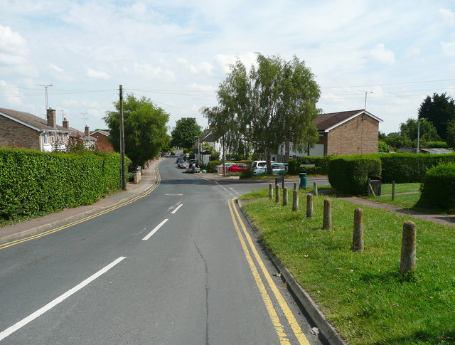
Image: © Humphrey Bolton Taken: 12 Jul 2014
This housing estate road has been made on the route of a bridleway, although there were already houses along it on the 1882 OS map.
Images are licensed for reuse under creativecommons.org/licenses/by-sa/2.0
Image Location
Latitude
51.99941
Longitude
-0.321904