Ignore satellite navigation, Manmoel Road
Introduction
The photograph on this page of Ignore satellite navigation, Manmoel Road by Jaggery as part of the Geograph project.
The Geograph project started in 2005 with the aim of publishing, organising and preserving representative images for every square kilometre of Great Britain, Ireland and the Isle of Man.

There are currently over 7.5m images from over 14,400 individuals and you can help contribute to the project by visiting https://www.geograph.org.uk
Ignore satellite navigation, Manmoel Road
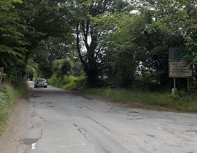
Image: © Jaggery Taken: 13 Jul 2014
Partly obscured by vegetation, two signs are on the corner of Manmoel Road and Pen-Deri Farm Lane. The upper blue sign shows Unsuitable for heavy goods vehicles. The lower white sign shows Ignore satellite navigation.
Images are licensed for reuse under creativecommons.org/licenses/by-sa/2.0
Image Location
Latitude
51.703409
Longitude
-3.172819