Bridleway through West Ditchburn steading
Introduction
The photograph on this page of Bridleway through West Ditchburn steading by Graham Robson as part of the Geograph project.
The Geograph project started in 2005 with the aim of publishing, organising and preserving representative images for every square kilometre of Great Britain, Ireland and the Isle of Man.

There are currently over 7.5m images from over 14,400 individuals and you can help contribute to the project by visiting https://www.geograph.org.uk
Bridleway through West Ditchburn steading
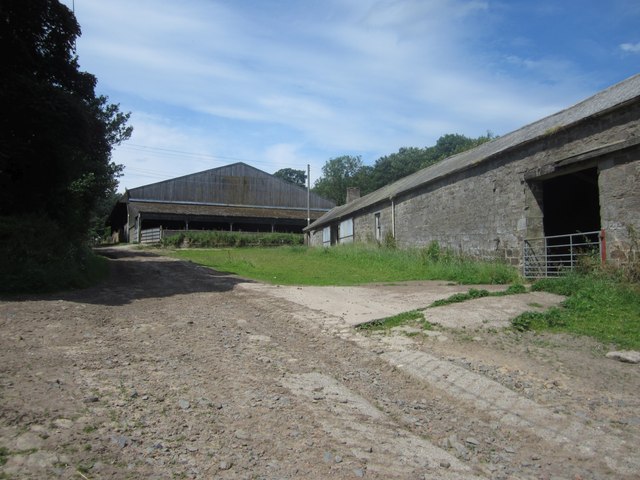
Image: © Graham Robson Taken: 12 Jul 2014
The bridleway from East Ditchburn crosses the steading at West Ditchburn along this rough stony track.
Images are licensed for reuse under creativecommons.org/licenses/by-sa/2.0
Image Location


Leaflet Map data © OpenStreetMap
Latitude
55.480483
Longitude
-1.795079